After 10 years and six billion kilometers, the European Space Agency’s Rosetta spacecraft finally caught up with Comet 67P/Churyumov-Gerasimenko. It will study this tiny comet for the next fifteen months including a historic event in November when the Rosetta spacecraft will deploy its small robotic lander (Philae) to land on the rock and ice made comet. The Rosetta lander will take samples from the comet and help investigate the composition and history of the comet. The mission will also study the comet as it makes its journey around the Sun. This footage is from the ESA’s mission control centre in Darmstadt, Germany.
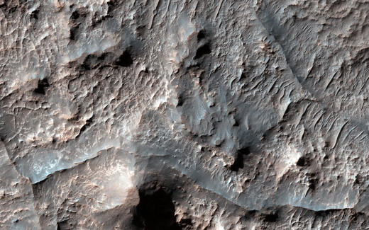
Eridania Basin on Mars

The Mars Reconnaissance Orbiter has been diligently mapping the martian terrain for many years. Here the HiRISE instrument on the MRO photographed the Eridania Basin, located at the head of Ma’adim Vallis, may have been the site of an ancient inland sea on Mars with some interesting geological and mineral evidence supporting this thesis. Further assumptions may be made regarding the weather on ancient Mars and whether the conditions were right for life to have existed on the red planet.
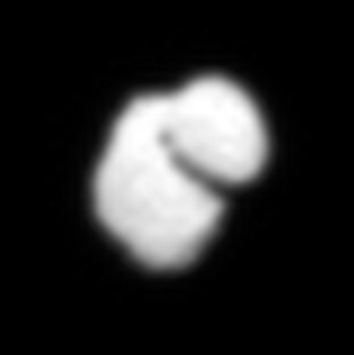
Comet Churyumov-Gerasimenko

The European Space Agency’s Rosetta spacecraft photographed Comet Churyumov-Gerasimenko/67P from a distance of about 12,000 km using its Onboard Scientific Imaging System (OSIRIS). This image has been enhanced with interpolated data. The Rosetta spacecraft is expected to further study Comet Churyumov-Gerasimenko/67P and in an unprecedented event for scientific study, eventually land on the comet in August 2014. These adn future observations and analysis by Rosetta will help scientists learn more about the origin and evolution of our solar system and the role comets have played.
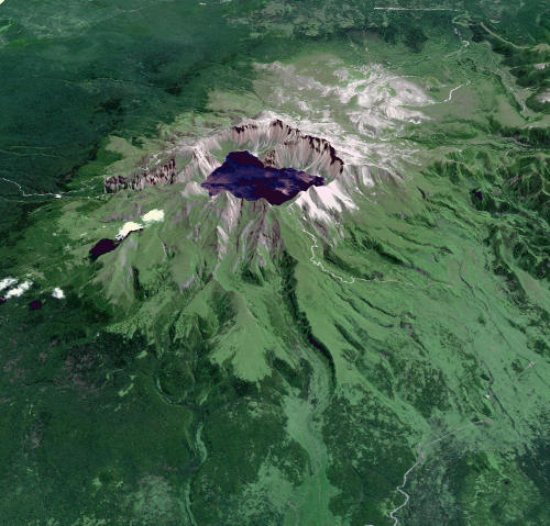
Baektu Mountain

Mount Baektu is quite the breath taking formation located on the China – North Korea border, with a 2,744 meter summit capped by a lake (Heaven Lake) which is formed within a crater. This image was taken by NASA’s Terra satellite using the ASTER instrument, which has been using 14 spectral bands from the visible to the thermal infrared wavelength region, to map the Earth’s surface and document changes since its 1999 launch. Another interesting fact about Baektu Mountain is that it is an active volcano which hasn’t erupted since 1903.
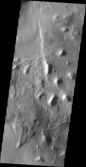
Hills of Arabia Terra

The 2001 Mars Odyssey mission craft took this picture of hills in the Arabia Terra region of Mars. This formation is located near the northern part of Mars. The NASA space craft used its on-board Thermal Emission Imaging System (THEMIS) which is jointly managed with Arizona State University’s School of Earth and Space Exploration, to take this picture of the Martian landscape. It features numerous hills within an unnamed depression in the northern Arabia Terra region of Mars.